Selection of Certified Hardware
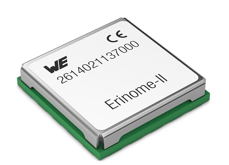
Waldenburg (Germany), 15 April 2021—Deutsche Telekom IoT GmbH has certified the first two products from Würth Elektronik and added them to its “IoT Digital Shelf”. Here, the Telekom subsidiary gathers selected products on the market to complete its own portfolio with certified hardware enabling it to offer its customers end-to-end solutions. Localization technologies recommended by Deutsche Telekom IoT: the GNSS modules Erinome I and Erinome II.
The Erinome series exploits all four global navigation satellite systems at maximum speed for localization and navigation tasks: GPS, GLONASS, Galileo and BeiDou. Both modules can be operated in low-power mode—important for mobile and battery-powered devices. In addition to the usual UART interface, they offer I²C and SPI. Erinome I (18 mm × 18 mm × 6.4 mm) is the version with integrated antenna, Erinome II (7 mm × 7 mm × 1.6 mm) the version without. Detailed technical documentation is available for antenna selection, and Würth Elektronik provides advice free of charge here on request. An active antenna can also be offered, which already meets the IP66 protection class standard. The GNSS modules are available from stock without a minimum order quantity.
The two GNSS modules are also part of Deutsche Telekom IoT’s “IoT Solution Optimizer”. This tool allows companies to model and test digital twins of their IoT business ideas cost-effectively and without risk.
Easy to integrate
The various requirements of position-based applications can be met with the Würth Elektronik GNSS modules: Tracking of containers, navigation of agricultural machinery or drones, fleet management, cartography, geotagging cameras, monitoring animal transports or even referencing for international time synchronization.
Thanks to the evaluation kit, the Würth Elektronik Navigation Satellite Software (WENSS) tool and on-site consulting by engineers; even developers who want to integrate position determination into their product for the first time can soon achieve optimum results.


